RTK Mapping Drone
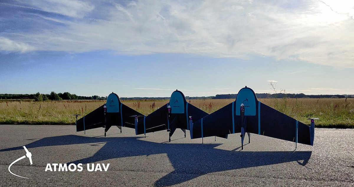
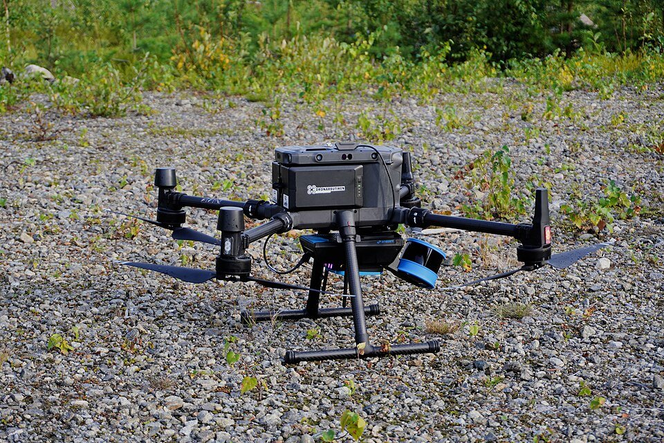
Survey drone with RTK positioning for high-accuracy aerial mapping with fewer ground control points.
Request Pricing for This Product → Ask on WhatsAppSpecifications
| Positioning | Onboard RTK GNSS | Supplied by JCL |
|---|---|---|
| Payload | Mapping camera (model dependent) | Supplied by JCL |
| Full specifications | Message us on WhatsApp (+88 01937 096431) or email jamesconcernlimited@gmail.com for the full datasheet and available models | Supplied by JCL |
Applications
- Land and cadastral surveys
- Construction progress mapping
- Road and river corridor mapping
- Mine and stockpile volumes
Features
- Built-in RTK for high positional accuracy
- Fewer ground control points needed
- Mapping camera for orthomosaics
- Automated survey flights
- RTK Mapping Drone supplier in Dhaka, Bangladesh, with price and datasheet on request
Accessories
- RTK base station
- Spare batteries
- Processing software
- Ask us for the full accessory list for your chosen model
Industries
Survey and mapping agencies, LGED and RHD, Law enforcement and border agencies, Port authorities, Universities and research institutes
Related Products
Get A Quote
Request Pricing
Interested in the RTK Mapping Drone? Fill out the form below and our team will send you a detailed quotation.